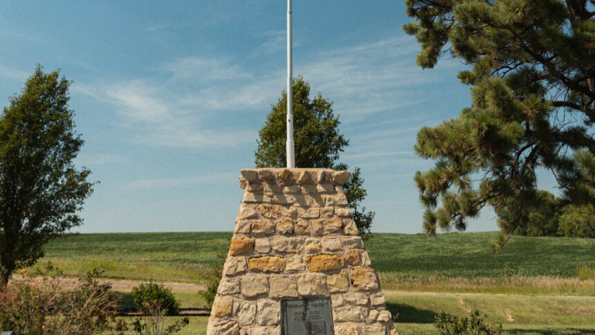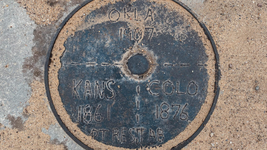
8 Mile Corner Oklahoma-Kansas-Colorado Tri Stater Marker

We took Road A west of highway 56 for 7.9 mile west of Elkhart, Kansas to the marker which is in the road. There used to be a windmill weather vane that sat near this location but it was destroyed between 2011-2019. All that is left of the windmill/weathervane is the base and concrete slab that it sat on. It was blustery cold outside the day we visited here. We made our way to the Cimarron Read More …
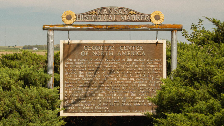
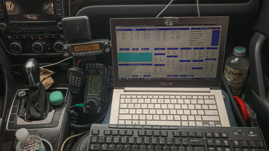
Geodetic Center

The replica and marker is located 160 feet east of hwy 24 and hwy 281 in Osborne, Kansas. The real Geodetic Center lies about 12 miles north of Lucas, Kansas and about 10 miles southwest of Tipton, Kansas. The Meades Ranch station is on private land, with no public access. Visited on August 23rd 2023

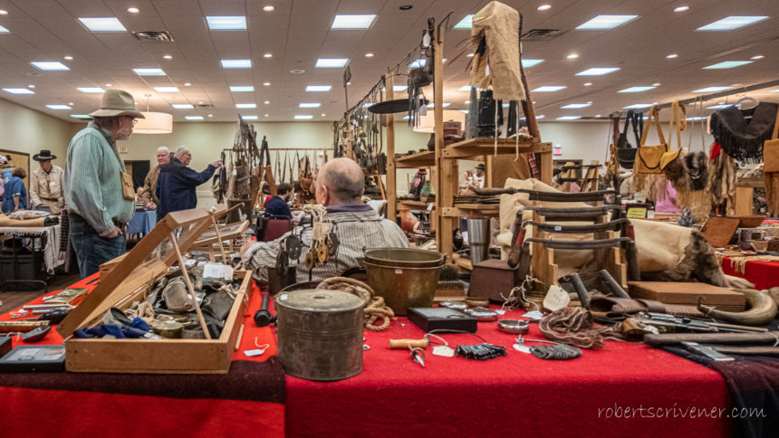
35th Annual Kansas Muzzleloaders Convention

Saturday February 1st my wife and I took a short 4.5 hour drive up to Manhattan, Kansas to the 35th Annual Kansas Muzzleloaders Convention at the Four Points by Sheraton hotel. At this time, we had never been to this convention in the past and I had just found out about it the week prior. It is free for the public to attend. However they were doing a donation to the local food bank for Read More …

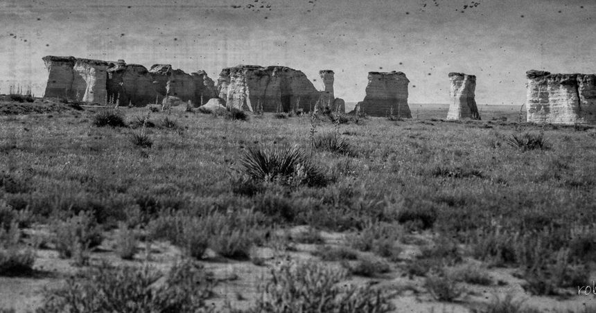
Badlands of Kansas

Castle Rock has been used as a landmark for several hundred years. In the 1800’s Castle Rock was a landmark on the Butterfield Overland Despatch route. Castle Rock received its name because it is said to look like a castle rising above the prairie. This interesting chalk formation is on private range land. The two rut path leading back from the dirt road is quite rough, portions of the track having up to 18 inch deep ruts. Read More …