POTA K-10387
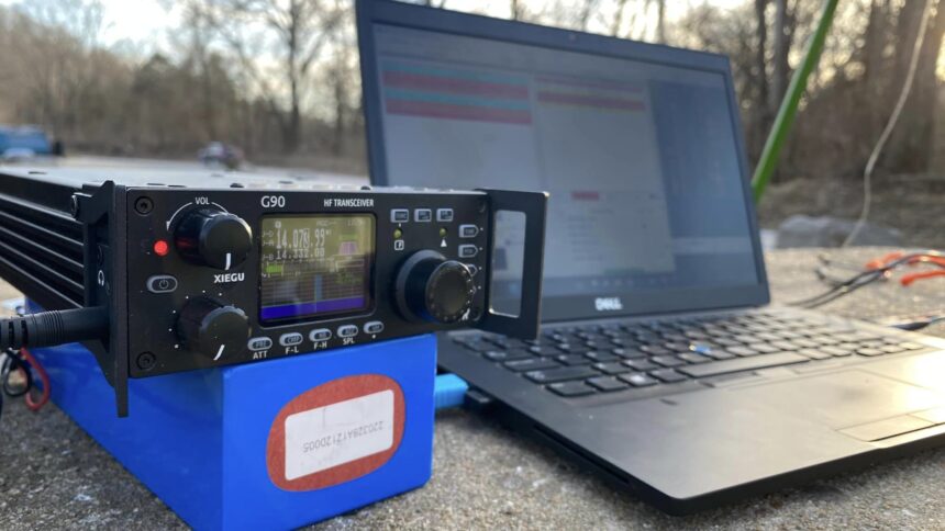
W0EGT and I (N0RVS) embarked on an exciting adventure, taking our ham radio show on the road to the Joe Creighton Access Area (K-10387). We persevered to find the perfect spot to set up our small HF station and make some incredible contacts. POTA (parks on the air) is a fantastic way to enjoy nature while engaging in our favorite hobby of ham radio! W0EGT exceeded expectations by making over a dozen contacts using only Read More …
2024 Nebraska Muzzleloaders Convention
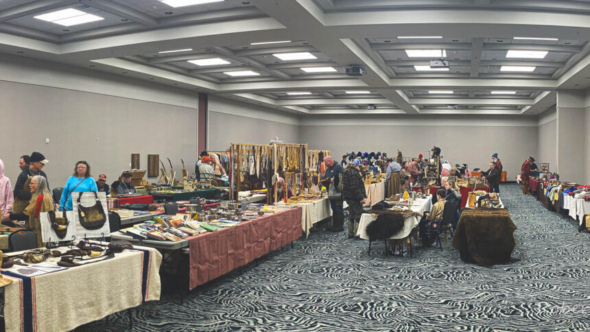
This year was at a new location. It was across the street from the old location. Very nice accommodations and staff. Weather was another issue. The lowest temperature I saw was -13F air temperature with -39F windchill. Snow was all around and snow drifts caused parts of I-80 interstate to shut down. I was surprised at how many vendors and the public did show up for this show. Looking forward to next year’s convention! Below Read More …
8 Mile Corner Oklahoma-Kansas-Colorado Tri Stater Marker
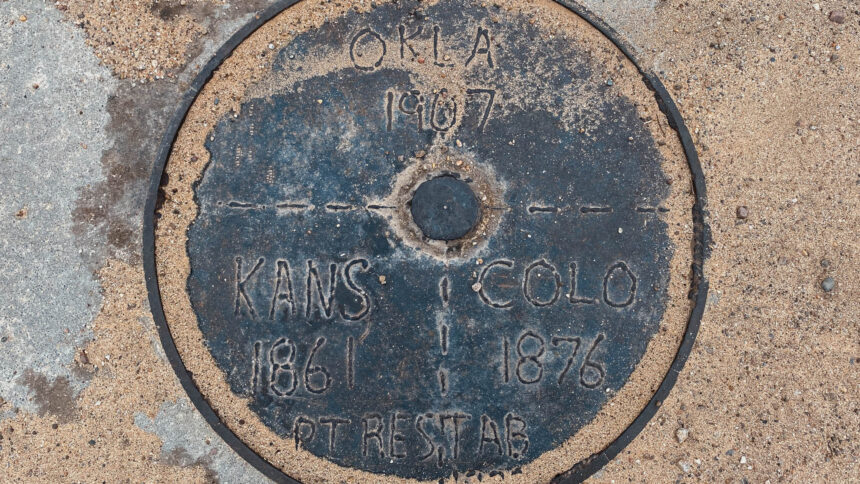
We took Road A west of highway 56 for 7.9 mile west of Elkhart, Kansas to the marker which is in the road. There used to be a windmill weather vane that sat near this location but it was destroyed between 2011-2019. All that is left of the windmill/weathervane is the base and concrete slab that it sat on. It was blustery cold outside the day we visited here. We made our way to the Cimarron Read More …
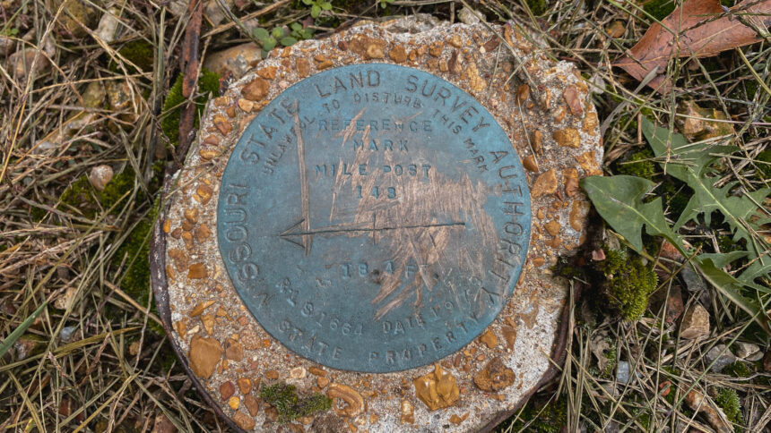
Missouri-Kansas-Oklahoma Tri-State Monument
This Tri-State Monument is close to our hometown of Springfield, Missouri. This trip we were heading out west for several weeks. Neither one of us have actually visited this monument before. So on October27th of 2023 was our first official visit. We took I-44 west of Springfield, MO to exit 1 where hwy 400 and hwy 166 turn north. We followed it 0.37 miles to the roundabout and took the 3rd exit onto Downstream Boulevard Read More …
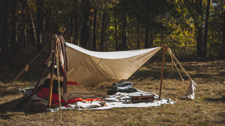
Pine Ridge Muzzleloaders Fall Shoot 2023
2023 Pine Ridge Muzzleloaders shoot in Huntsville, Missouri. Had a great turnout and great weather for this event!
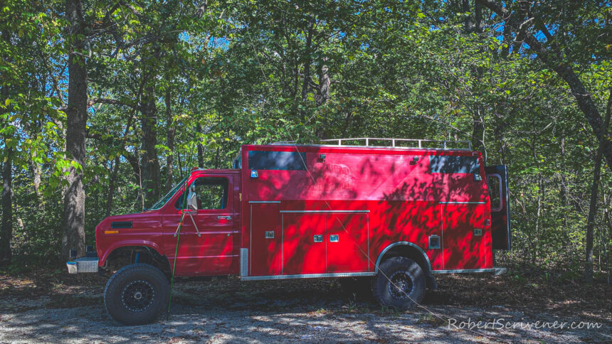
Brush Creek Conservation Area (K-8278)
Did a little (POTA) Parks On The Air activation yesterday afternoon on the way back from Caplinger Mills. Had Clifford with us so why not get his first activation out of the way with many more in the future to come. Stopped at Brush Creek Conservation Area (K-8278) just west of Humansville, MO. This is a 160 acre with hunting and wildlife all around. There is one Small Parking lot on the northwest corner of Read More …
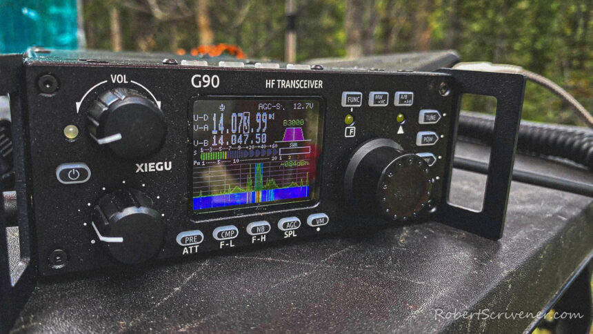
Arapaho National Forest Activation (K-4400)
I woke up about 5:27 am to about 35°F outside with a slight windchill of 32°F at 9428 feet in elevation. Slept great. Wool blankets are toasty. Made coffee and tea and a banana for breakfast. Earl set and made a few voice contacts on the 20m band. I set up a 76-foot-long speaker wire in a tree & tuned it up and started making FT8 digital contacts around 9:15 local time. Australia was hearing Read More …
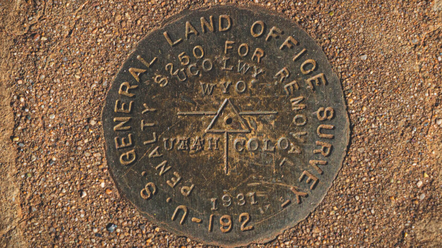
Wyoming-Utah-Colorado Tri-State Marker
This Tri-State Marker is the most remote one I’ve been to yet. My brother and I took Hwy 191 north 10.3 miles out of Dutch John, Utah. We then turned east on Browns Park Rd. for 15.1 miles. Then we tuned east on to a two lane track and followed it for another 9.2 miles till the end. There was a few water crossings but nothing too major. 4wd was nice and handy to have. Read More …
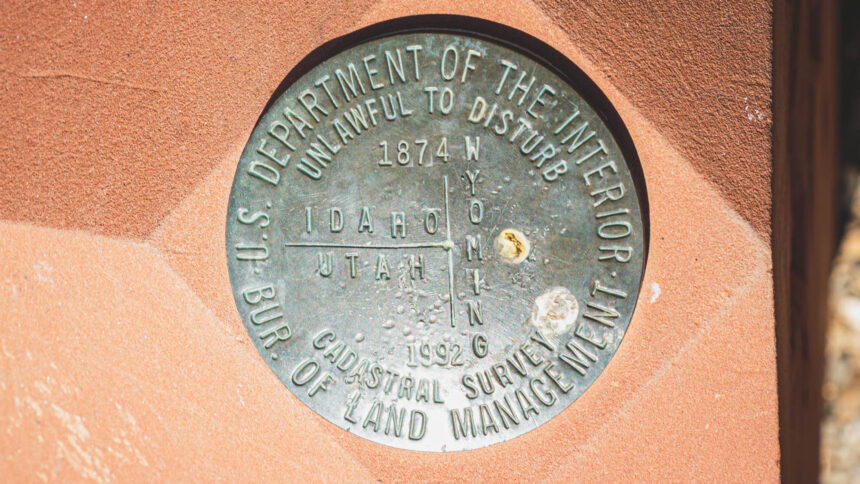
Idaho-Utah-Wyoming Tri State Marker
This Tri State Benchmark was a fun one to get to. We took Manhead Rd. North 16.4 miles of Highway 30 which is just southeast of Bear Lake, Idaho. Then we turned west on to a 2 lane track through Cristy Canyon and went 3.32 miles and then turned north on another two lane track for another .37 miles. From there we had to hike up a steep incline to reach the monument which was Read More …
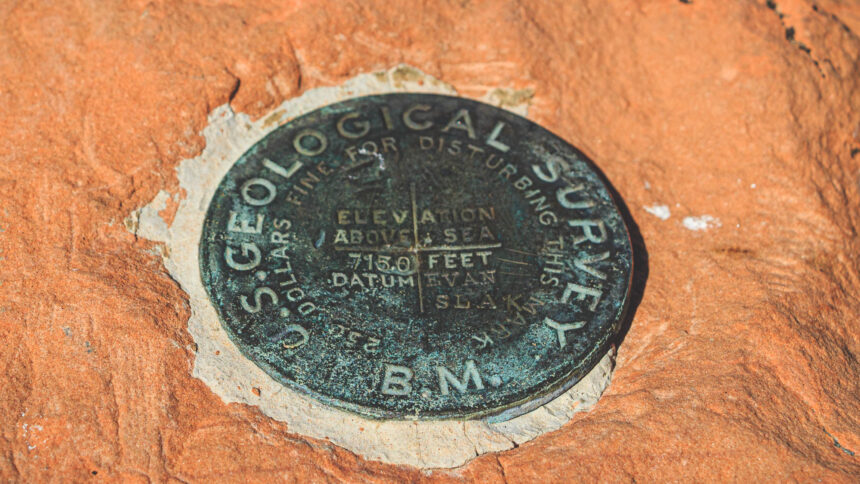
Southwest Corner of Wyoming
The Southwestern corner of Wyoming survey benchmark. This is the state boundary between Wyoming and Utah. The road is drivable in any vehicle all the way to the monument. We took highway 150 south from I-80 intersection for 18.8 miles out of Evanston, Wyoming to county road 150. The we went west for 7.8 miles on county road 150 which is also called Chalk Creek Rd. The we turned south at the intersection of Chalk Read More …
