Activation of Starvation Lake – Duchesne, Utah
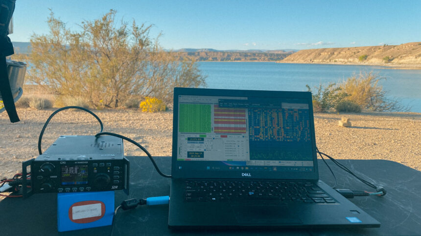
I was ready to be done driving for the day so we went to Juniper Point Campground at Fred Hayes at Starvation Lake State Park. I cooked up some steak and boiled some eggs for some deviled eggs later this weekend. This place is also a POTA park (US-3092 – Fred Hayes at Starvation State Park) for amateur radio. I activated it with 33 unique contacts and 35 contacts total on FT8. I was the Read More …
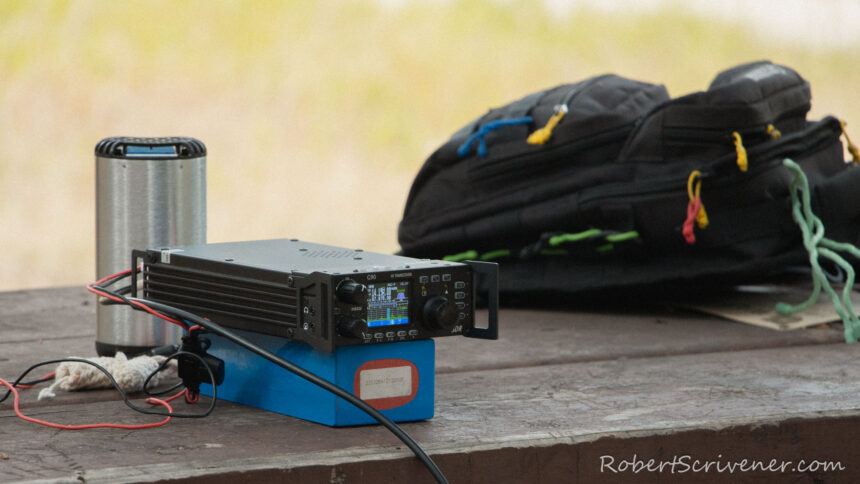
Beaverhead-Deerlodge National Forest POTA US-4499
We stayed at Beaverhead-Deerlodge National Forest for a quick overnight stop when heading south from Glacier National Park. I put a 9:1 UNUN to a 72 foot random wire in a tree with my throw weight and activated POTA Park US-4499 with 22 total contacts on FT-8. I even made contact with my brother back in SW Missouri on the 20m band. Not too bad for only running 10 watts for the whole activation.
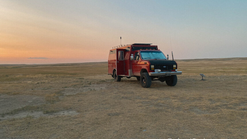
HF Radio in Montana
We pulled into Willow Creek Recreation Area after a long days drive on HWY 2 from Eastern Montana. It was fairly warm but a steady wind kept it quite pleasant. After settling into camp for the work week I decided that I wanted to experience a low noise floor and also do a little bit of antenna testing on just a few watts on a long wire antenna. I setup my 27′ fiberglass fishing mast Read More …
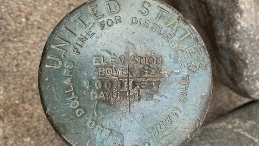
US Benchmark Elevation- Kintla Lake, Montana
This US Benchmark was near Kintla Lake up in Glacier National Park in Montana. It is 4008 feet of elevation at the benchmark.
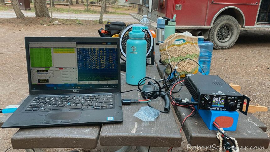
Activation of Glacier National Park US-0028
We can not just go to Glacier National Park and not activate it. We stayed one night at Bowman Lake which is a very touristy place that is off the beaten path. This place did not have any cellular service or Starlink internet service. I did end up using the GPS dongle to synchronize my FT8 clock on the computer. The antenna of choice is the 26 gauge 44 foot long wire on the 27 Read More …
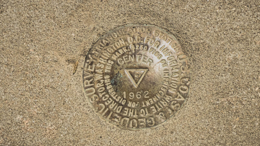
Center Of The Nation South Dakota
Visited on July 12th 2024
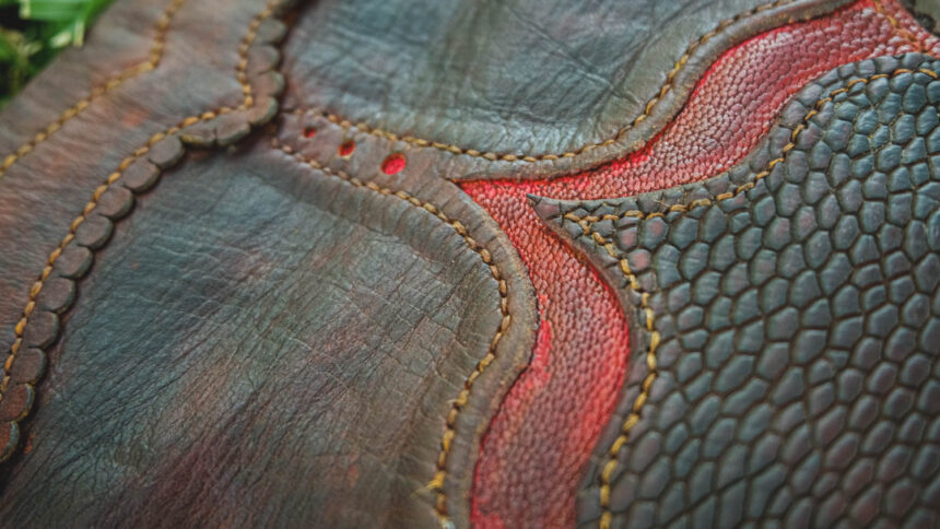
Beaver Tail Bag
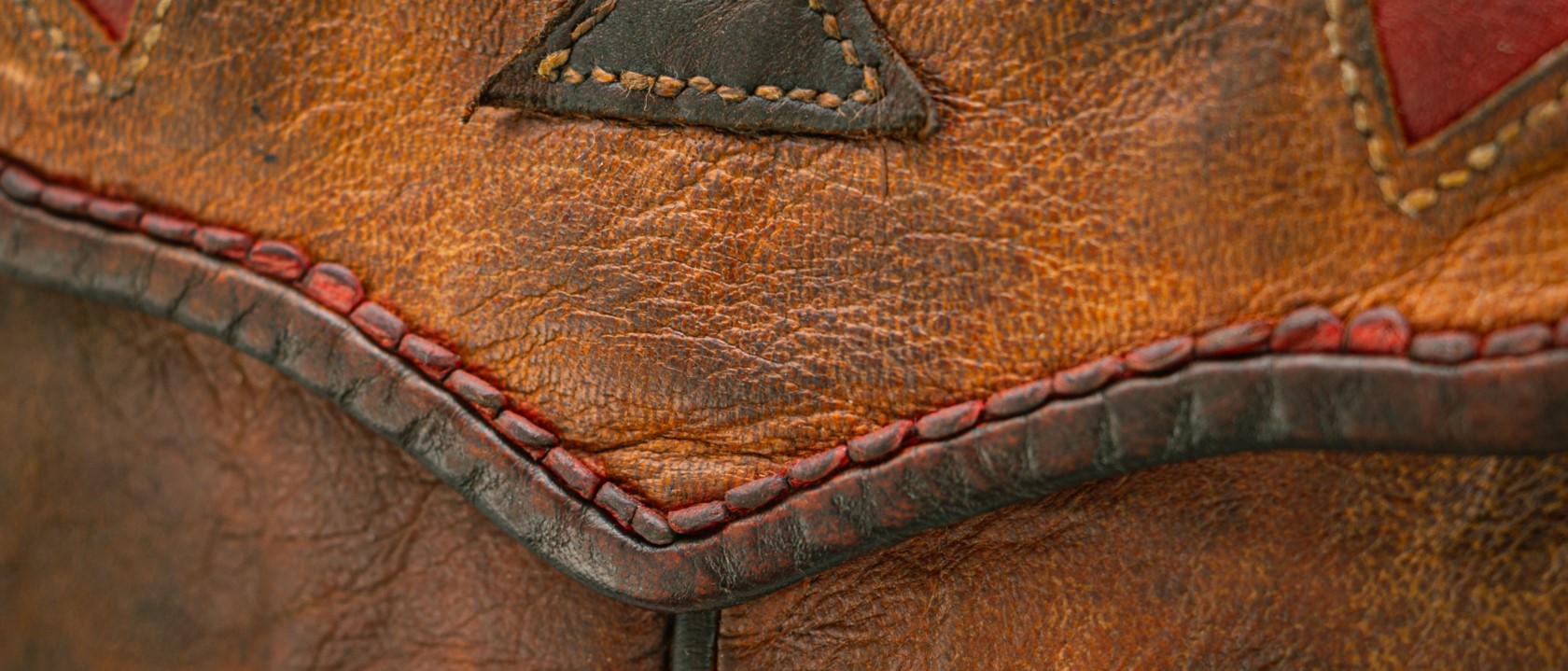
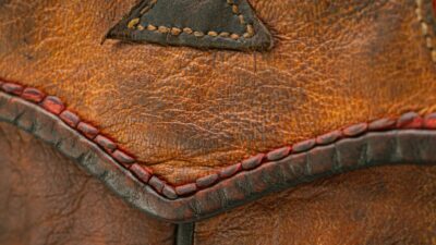
This bag is made out of cowhide, goat hide and beaver tail. Strap is 6-7 oz cowhide with an oval hand forged buckle with several place for adjustment. The flap has small scallops around it and is lined with cowhide. There is a small pocket on the inside and a decent sized gusset for extra room on the bottom of pouch. 9-10 stitches per inch on the flap. SOLD
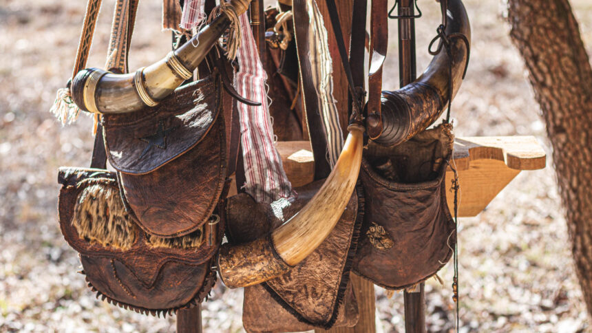
Old Mines Rendezvous Winter Shoot 2024
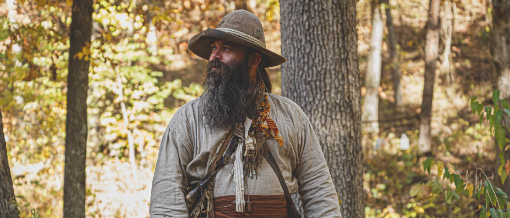
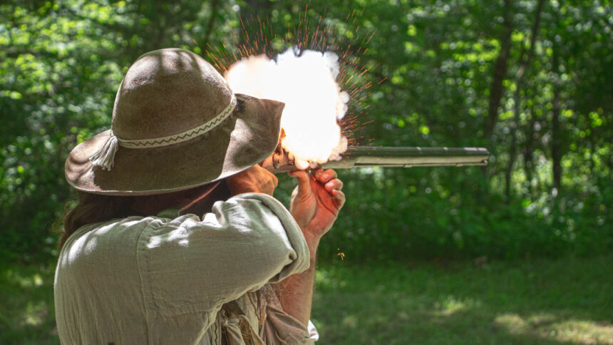
Old Mines, Missouri is a small little town situated kinda in the east-central part of Missouri. They also have a nice Black powder shoot there too. Here are some pictures that were from this event in February of 2024. Pictures were taken by my brother Earl.
