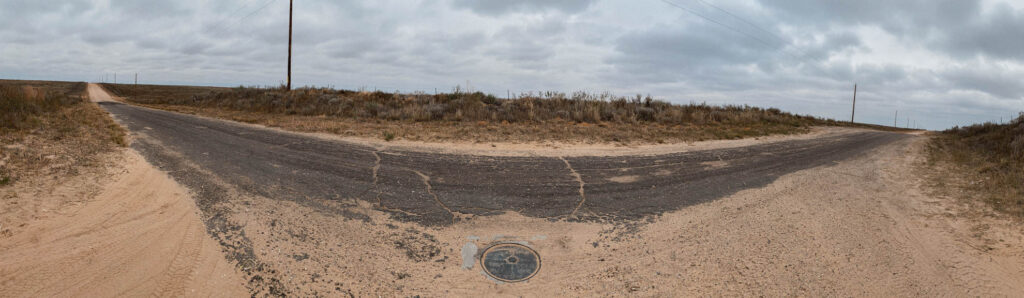
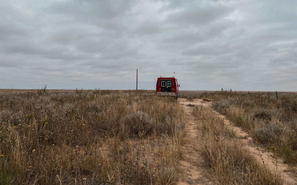
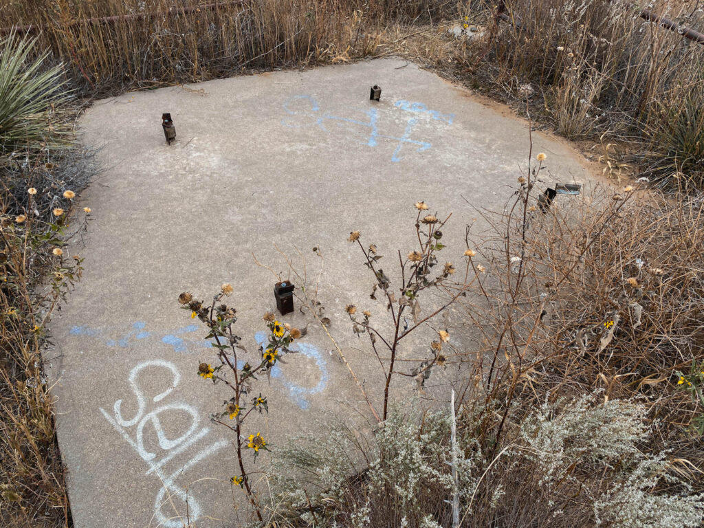
We took Road A west of highway 56 for 7.9 mile west of Elkhart, Kansas to the marker which is in the road. There used to be a windmill weather vane that sat near this location but it was destroyed between 2011-2019. All that is left of the windmill/weathervane is the base and concrete slab that it sat on. It was blustery cold outside the day we visited here. We made our way to the Cimarron National Grassland area nearby for some camping.
Visited on October 29th 2023
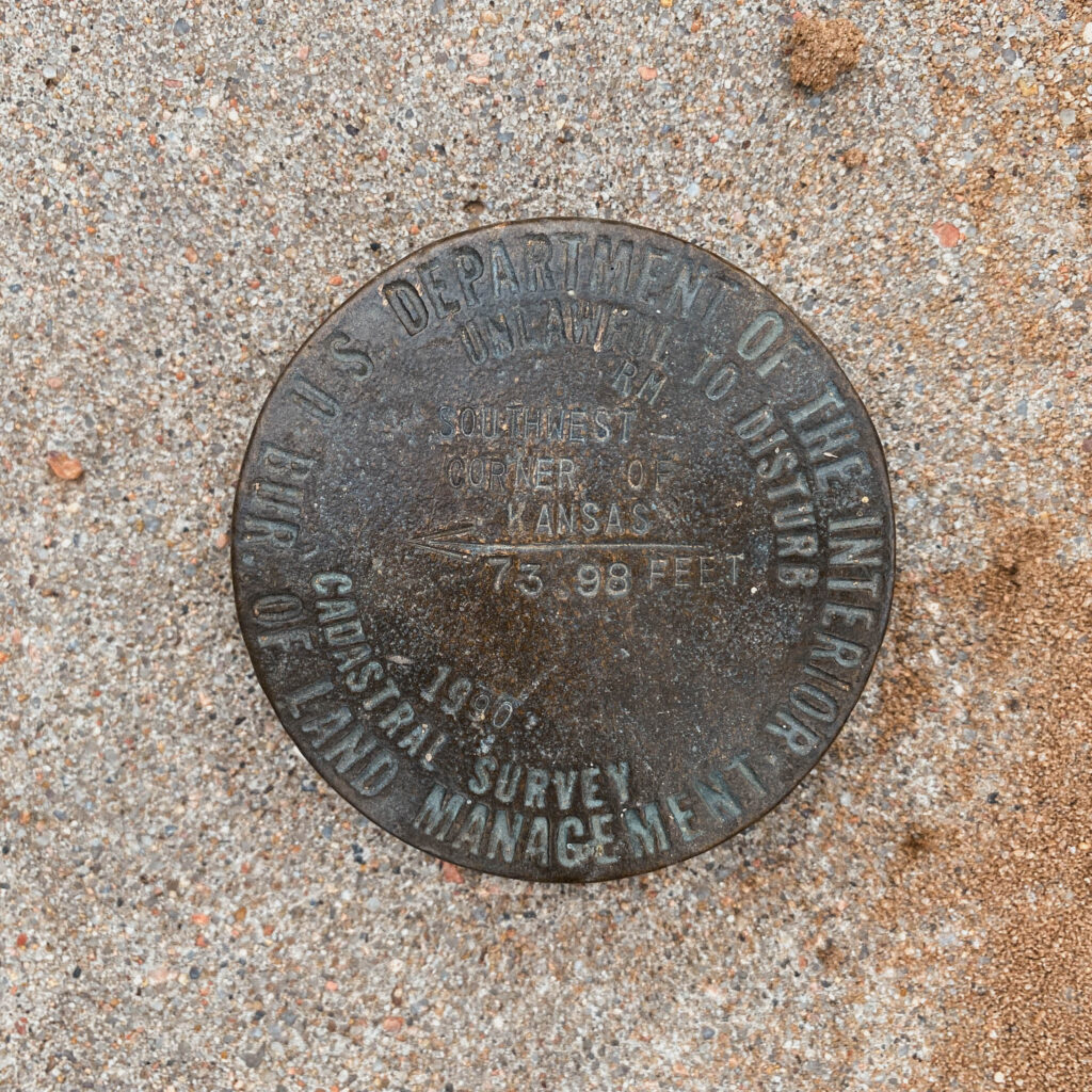
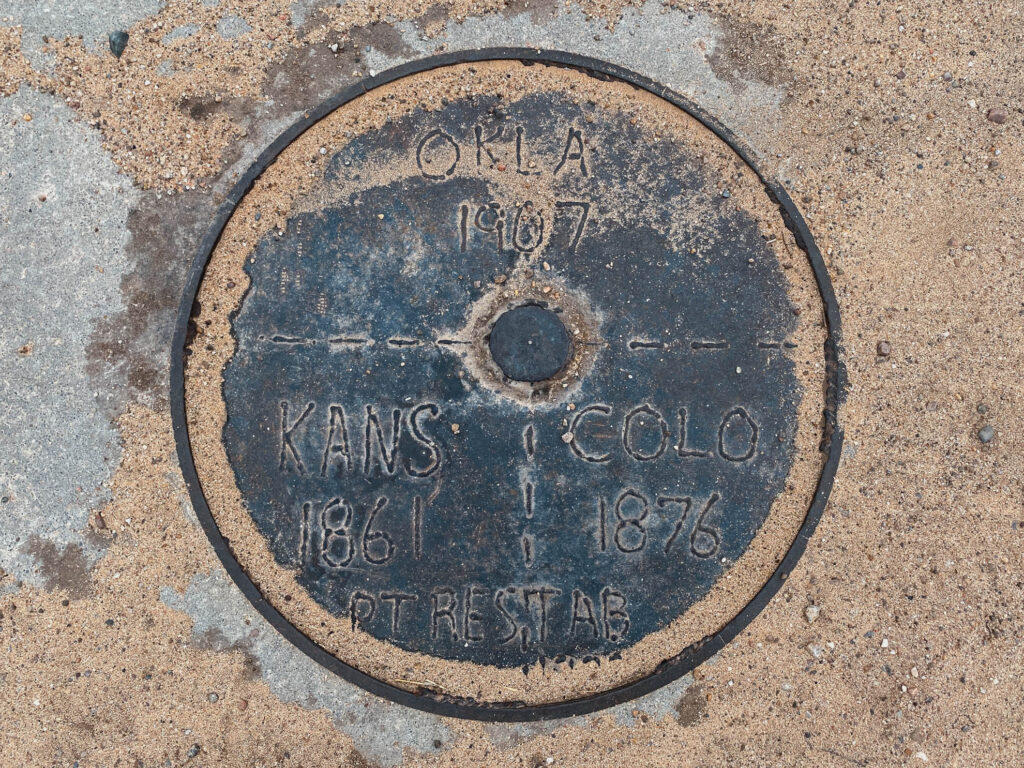
A few feet below the closed manhole is the Department of the Interior cadastral survey disk set in concrete.